How to Geolocate Contacts Collected at Trade Shows

Imagine coming back from a trade fair with dozens or even hundreds of contacts scattered across papers, business cards, and random notes.
You know who they are, but... where are they?
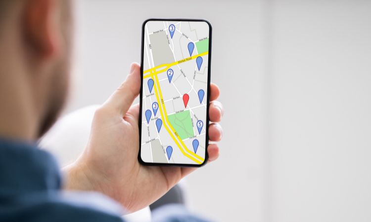
With FieraFast, you can instantly see on a map the location of every contact collected.
Not just a name and a number, but a precise point on a map, ready to help you plan your next visit route more effectively.
Whether you are a sales agent, a vendor, or a sales manager, you will always know:
- Which clients or prospects are near your next appointment
- How to optimize your travel plans
- How to strategically organize meetings and trips, saving time and costs
In short, you avoid juggling multiple tools like CRM, Google Maps, and paper agendas.
With FieraFast, you have everything in one platform.
How does contact geolocation work with FieraFast?
After scanning business cards during the event, FieraFast automatically places the collected contacts on an interactive map, accessible directly from the app.
With FieraFast you can:
- Easily and quickly view the location of each contact
- Open the address directly on Google Maps with a single click
- Access all useful information, including contact details and personalized notes collected during the event
This feature allows you to manage your post-event activities more precisely, easily organizing your travel and planning meetings without wasting time.
Moreover, geolocation is integrated with contact profiling and note management, so you will always have full control of every business relationship without relying on external tools or complicated manual operations.
Say goodbye to improvised visits and days lost juggling maps, notes, and Excel files.
The contact geolocation feature of FieraFast helps you work more efficiently and achieve immediate results.
